Tiger Falls
A waterfall of about 312 feet set in forested hills, reached by a walk downhill and a climb back. It gets busy in peak season.
- Distance
- Reached by a trek of about 5 km from Chakrata.
- Timings
- Go in daylight
- Time needed
- 4 to 5 hours
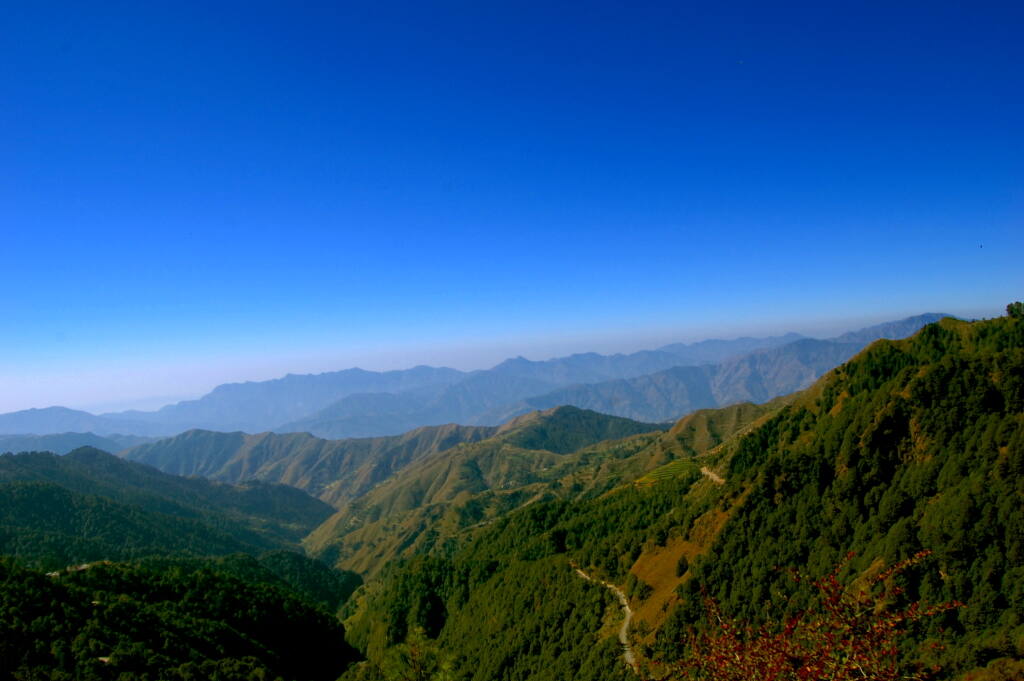
A quiet cantonment hill town above Dehradun with conifer forests, a tall waterfall and snow in winter.
Lesser-knownHill-stationWaterfallTrekSnow
Chakrata sits at about 2,118 m among conifer, oak and rhododendron forest, roughly 90 to 100 km by road from Dehradun. It has few hotels and almost no town bustle, so it suits people who want walks, a waterfall, Himalayan viewpoints and winter snow rather than shopping and nightlife. Villages around it are home to the Jaunsari community.
Trip planner
| When | What to expect |
|---|---|
| March to June | The main season. Temperatures are reported between about 10 and 30 degrees C, with clear, pleasant days. |
| July to September | Monsoon. Heavy rain, slippery routes and a risk of landslides and road blocks; most guides advise avoiding it. |
| October to November | Listed as a moderate season after the rains. Mundali is described as a skiing area from November to April. |
| December to February | Cold, with highs around 15 degrees C and lows that can drop to about minus 5. The town gets snowfall. |
A waterfall of about 312 feet set in forested hills, reached by a walk downhill and a climb back. It gets busy in peak season.
A high viewpoint near the town with views of the Bandarpoonch and Swargarohini peaks. It is also known for birds and butterflies.
A dense deodar forest area with wide Himalayan views, popular with birdwatchers.
A garden on the Chakrata to Mussoorie road with apple trees, conifers and many bird species.
Limestone caves, also called the Miola caves, with stalactite and stalagmite formations and a local link to the Mahabharata.
Alpine meadows at about 2,776 m with forest and snow-peak views. It is described as a skiing spot from November to April.
A summit of about 3,084 m (10,000 ft) above Chakrata, reached on foot through forest.
Worth a stop on the drive from Dehradun, the last stretch whether you arrive by train, bus or air. Stopping needs a taxi or your own vehicle; buses do not wait. Distances are by road.
A large boulder carved with Emperor Ashoka's major rock edicts from the 3rd century BCE, near the Yamuna at Kalsi. Protected by the Archaeological Survey of India.
Places people usually visit on the same trip, and how long it takes to get between them.
Add this place and any others to a trip of your own. It is kept on this device.
| Budget level | Type | Price per night |
|---|---|---|
| Budget | Hostels, simple hotels and homestays | ₹500 to ₹2,200 |
| Mid-range | Small resorts and hotels | ₹2,500 to ₹4,700 |
| Luxury | Larger resorts and spa properties | ₹6,000 to ₹9,000 |
There are hardly any stand-alone restaurants. People eat at their hotel or resort, or at roadside stalls serving local food, North Indian meals and common Chinese dishes.
Vegetarian food is available at hotels and resorts, along with non-vegetarian food.
| Budget level | Stay per room | Food per person | Local transport |
|---|---|---|---|
| Budget | ₹1,500 | ₹500 | ₹300 per person |
| Mid-range | ₹3,500 | ₹1,000 | ₹2,500 per vehicle |
| Luxury | ₹7,000 | ₹2,000 | ₹3,500 per vehicle |
Per day. Travel to and from your city is added in the planner above.
Chakrata is a military cantonment. Indian visitors need no permit but should carry photo ID. Foreign nationals need prior permission from the military authorities (sources name the Special Frontier Force command) before visiting.
Coverage maps: Jio · Airtel · Vi · BSNL. Report a problem
Unless a sight is described as accessible, assume it is not step-free.
Nearby
Distance by road.
 Famous
Dehradun, Uttarakhand
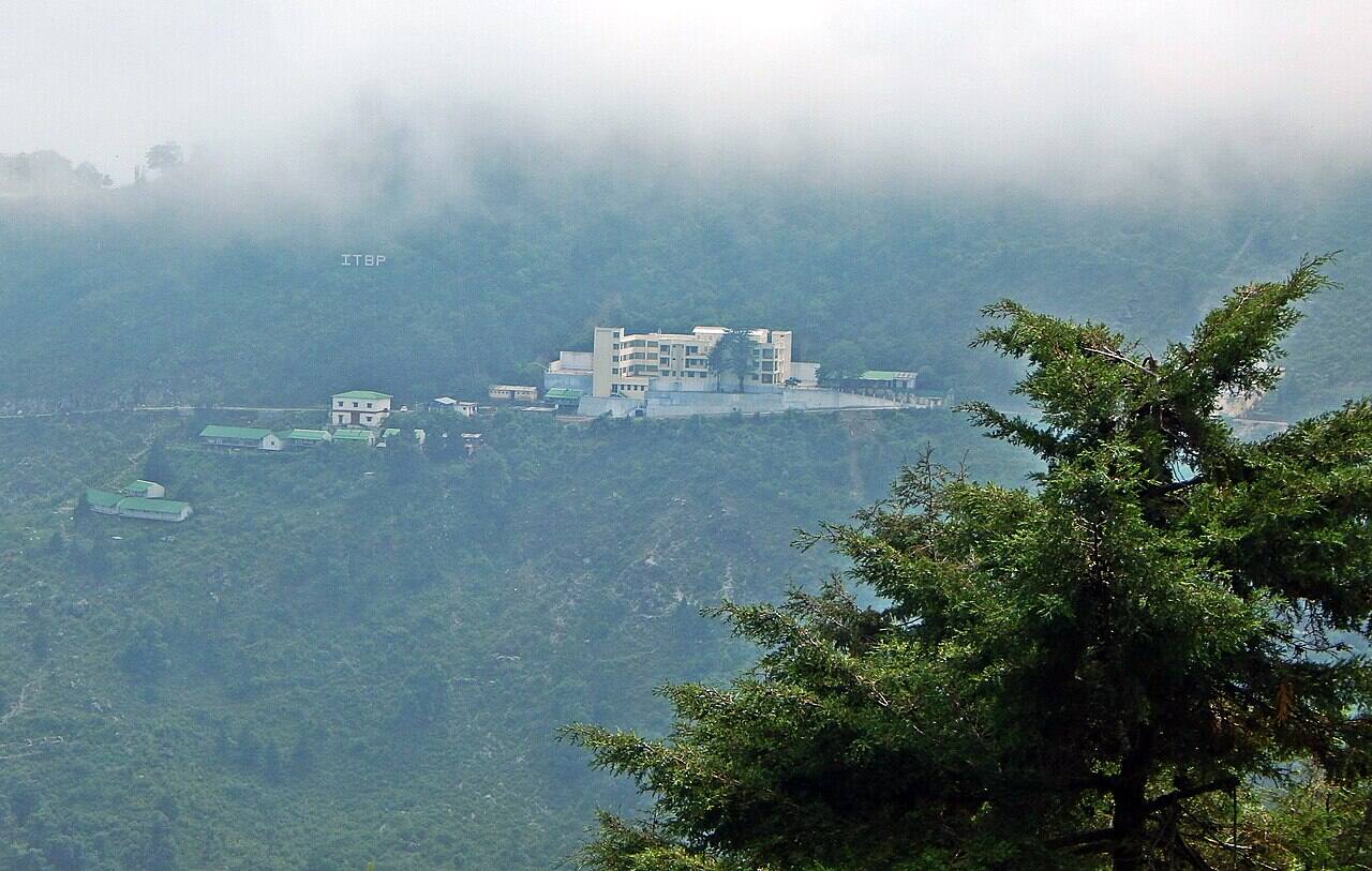
Colonial-era hill station above Dehradun with ridge walks, waterfalls and Himalayan views.
Full guide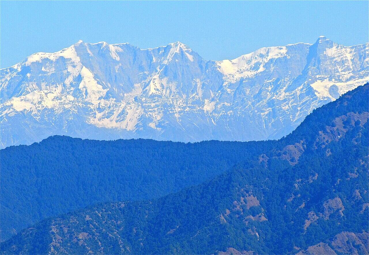
Tehri Garhwal, Uttarakhand
A quiet hill village on the Mussoorie-Chamba road with camps, forest walks and Himalayan views.
Full guide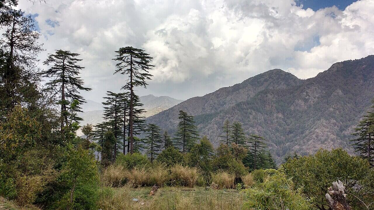
Tehri Garhwal, Uttarakhand
A quiet deodar ridge above Mussoorie, with eco parks, a hilltop temple and snow in winter.
Full guide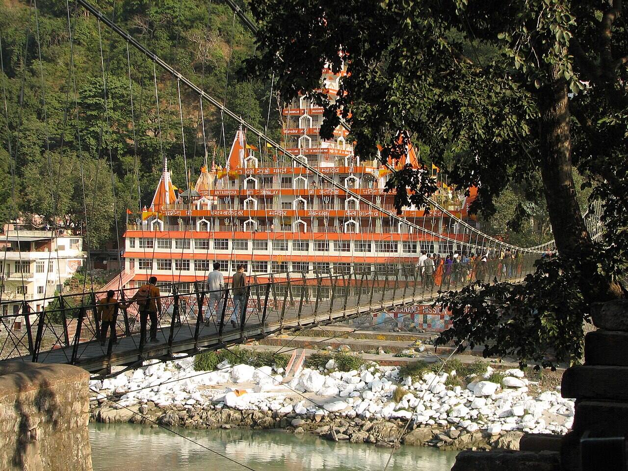 Famous
Dehradun, Uttarakhand
Ganga-side town in the Himalayan foothills known for yoga, ashrams, evening aarti and river rafting.
Full guide